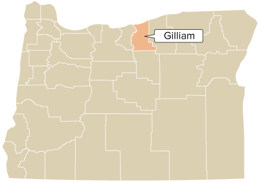
County Seat: Courthouse, 221 S Oregon St., Condon 97823
Phone: 541-351-9490 (County Clerk); 541-351-9499 (Court Administrator)
About
Established: Feb. 25, 1885
Elev. at Condon: 2,844'
Area: 1,223 sq. mi.
Average Temp.: January 31.9° July 71.3°
Assessed Value: $1,139,885,773
Real Market Value: $1,411,758,756
(includes the value of non-taxed properties)
Annual Precipitation: 11.39"
Economy: Agriculture, recreation, environmental services, wind power generation, hunting, fishing, tourism, waste management and waste disposal landfills
Related Resources
Historical Records Inventory
Gilliam County Scenic Images
"County QuickFacts" (population and economic data from U.S. Census Bureau-enter county name)
County Seat Map (from Google Maps)
County Map (from ODOT)
Incorporated Cities
Points of Interest
Old Oregon Trail, Arlington Bay and Marina, Lonerock area, Condon historic district, Cottonwood Canyon State Park
History and General Information
Gilliam County was established in 1885 from a portion of Wasco County and named for Army Colonel Cornelius Gilliam. Alkali (now Arlington) was the first county seat. In 1890 voters moved the county seat to Condon (then named Summit Springs). A brick courthouse was built in Condon in 1903 and destroyed by fire in 1954. The present courthouse was built on the same site in 1955.
In the heart of the Columbia Plateau wheat area, Gilliam County has an average farm size of about 4,200 acres, principally raising wheat, barley and beef cattle.
With elevations of over 3,000 ft. near Condon in the south of the county, and 285 ft. just 39 miles north at Arlington, the county sees a variety of climates. To the west are two major rivers: the John Day and Columbia.
County Officials
County Court: Judge Cris Patnode (2029); Grant Wilkins (2029), Leah Watkins (2027); Dist. Atty. VACANT; Clerk Ellen Wagenaar (2027); Justice of the Peace Kari Hayter (2027); Sheriff Gary Bettencourt (2027); Surv. Todd Catterson (2027); Treas. Nathan Hammer (2027); Assess. Chet Wilkins (2029)