Related Resources
Historical Records Inventory
Curry County Scenic Images
"County QuickFacts" (population and economic data from U.S. Census Bureau)
County Seat Map (from Google Maps)
County Map (from ODOT)
Incorporated Cities
Points of Interest
Coastal ports, Cape Blanco Lighthouse, Cape Sebastian and Samuel H. Boardman state parks, Rogue River Japanese Bomb Site, Thomas Creek Bridge (near Brookings), Oregon’s highest bridge at 345 ft.
History and General Information
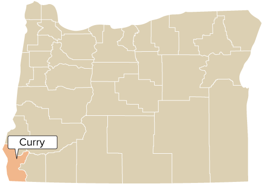
Curry County is tucked away at the southern corner of Oregon. Named for Territorial Governor George L. Curry, the county was created from the southern part of Coos County in 1855. Port Orford was the county seat until 1859, when it was moved to Ellensburg (later renamed Gold Beach).
Curry County contains valuable standing timber and offers spectacular coastal scenery, clamming, crabbing, excellent fishing (freshwater and saltwater), upriver scenic boat trips, hiking trails, and gold for recreational panning. The Port of Brookings is considered one of the safest harbors on the coast.
Agricultural products include sheep and cattle, cranberries, blueberries, Easter lilies and horticultural nursery stock. The county is also a prolific producer of myrtlewood.
County Officials
Commissioners: Chair Brad Alcorn (2027); Patrick Hollinger (2029), Jay Trost (2029); Dist. Atty. Joshua A. Spansail (2029); Assess. Kiley Wegner (2029); Clerk Shelley Denney (2029); Sheriff John Ward (2025); Treas. Nick Vicino (2029)