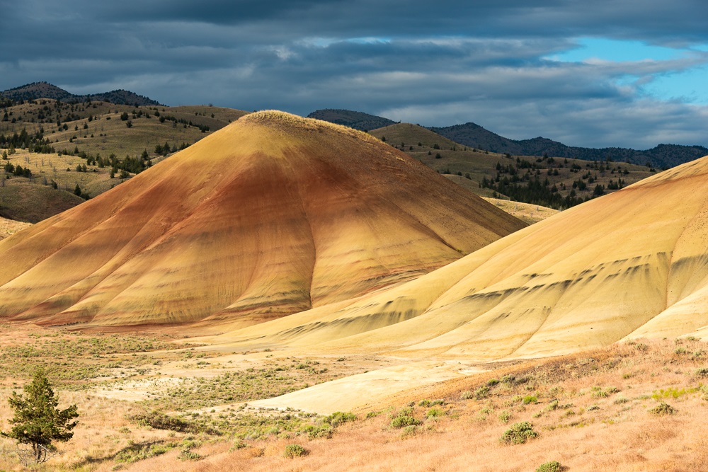
The layers seen at the John Day Fossil Beds National Monument Painted Hills Unit offer spectacular views and clues to our past. (Oregon State Archives scenic photo)
The layers seen at the John Day Fossil Beds National Monument Painted Hills Unit offer spectacular views and clues to our past. (Oregon State Archives scenic photo)
A Home to Native People
More so than in other Oregon monuments, John Day Fossil Beds National Monument was an everyday home to many people. Today’s Monument has three distinct units: the famously fossil-rich Sheep Rock and Clarno Units, and the spectacularly scenic Painted Hills. Each of these places was well known to the Native people long before contact, especially the Umatilla, Northern Paiute, Tenino, Cayuse, and other tribes whose traditional lands converged in the John Day Basin. Their settlements and camps once lined the John Day River and its fish-bearing tributaries that wend through and alongside the Monument’s lands. Semi-subterranean houses were home to entire extended families here, while camps, located at seasonal harvest sites featured small structures walled with mats—woven from plants such as cattail or tule and placed over frames of wood. Major landmarks throughout the John Day Basin have long served as focal points of oral traditions and keystone cultural teachings. Place names of the area, recalled by modern tribal elders—Ákakpa—"Canada goose place," Xúlxuli—"[place with] small fish/trout," Íišnima—"river with cow parsnip"—still allow us to hear the words of the ancestors and appreciate what they saw and valued while living and traveling on the land. Amidst the rugged geology of the John Day Basin are stone quarries, places for gathering pigments, and many spiritual places. Picture Gorge, along the John Day River, is named for pictographs protected within the Monument and remains significant to tribal members today.
Each year, the harvest of food followed familiar patterns. In spring, families living in and near the Monument traveled to rich patches of biscuitroot (Lomatium spp.) and other plant foods, which they harvested, dried, and stockpiled for later use. By May, the salmon arrived, bringing intensive harvests—as well as social gatherings at fishing stations. Along the John Day River and its tributaries, residents could fish for salmon, steelhead and lamprey, as well as trout and other freshwater fish. With spears, natural fiber nets, woven fish traps and piled rock dams, residents fished together while their families processed and preserved fish on the adjacent banks—each community showing their respect for the fish through annual “first fish” ceremonies and by myriad other means.
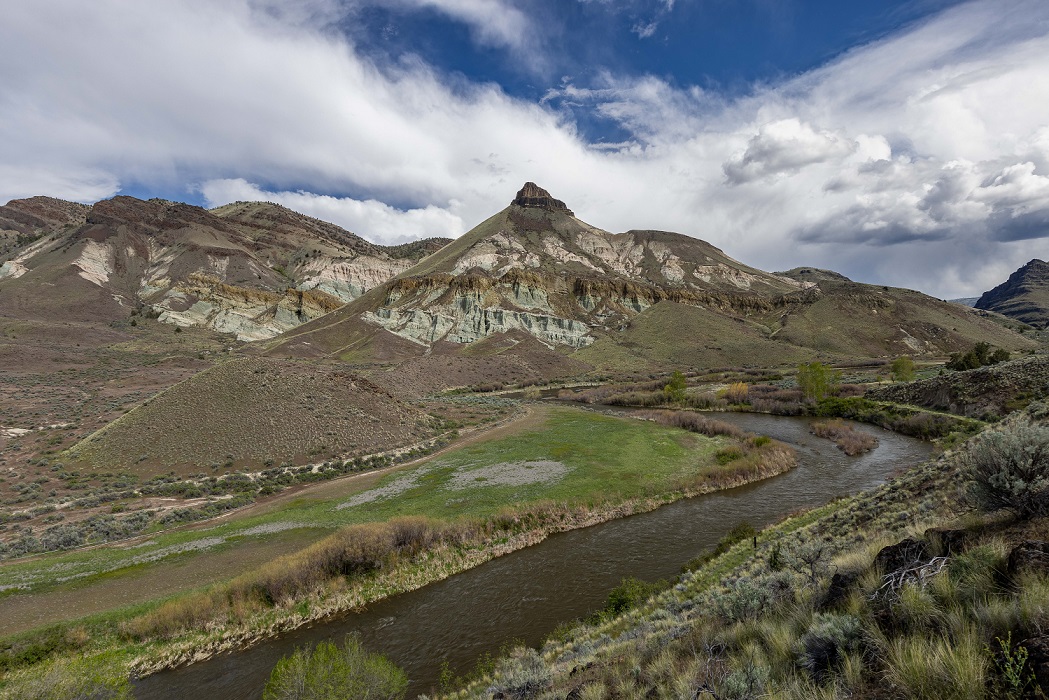
 Sheep Rock in the John Day Fossil Beds National Monument. (Oregon State Archives photo)
 The lands in and around the Monument have been celebrated as good elk hunting territory, and by late spring, some traditionally traveled to the hills around the monument to hunt elk and mule deer. Even buffalo and bighorn sheep could be hunted nearby. Then there are pronghorn antelope. Oregon’s pronghorns can reach astonishing speeds, over 55 miles per hour, the posted speed limit for most of the state’s highways. This is perhaps the legacy of countless generations outpacing fast-running predators like the American cheetah that are now gone, seen only in fossil form below the ground. Undeterred, the pronghorn still run at highway speeds. Native hunters devised ways to catch such fast-moving game—building blinds or chutes of stone, or ambushing the pronghorn during their relatively slow and inelegant river crossings. While men especially hunted, women continued to focus on plant food harvests—digging camas in moist meadows, for example, during hunts. Especially in late summer, some families have traditionally traveled into nearby mountains for huckleberry gathering and other harvests linked to unique montane habitats–including biscuitroot, bitterroot, wild carrot, and chokecherries, as well as beaver and other small game. As people travel through this landscape, they also gather medicinal plants; plants for tool use such as juniper, prized for crafting bows, digging sticks, and other tools; or plants such as willow for use in baskets and many other traditional tools and crafts. With each harvest, the elders have advised that people show thanks, honor each species harvested, and take other steps to ensure abundance into future times. Honoring the obligations between humankind and the plants and animals of this land—enhancing some species, showing restraint in the harvest of others – traditional resource managers ensured the wellbeing of future generations of each, far into the imaginable future. When horses arrived in the generations leading up to direct Euro-American contact, the tribes living near the monument gained newfound mobility—with families from much larger constellations of villages able to gather at John Day fishing stations, to make more expansive treks into the mountains, and to travel for social, subsistence, and ceremonial events far away.
Non-Native Settlers
A series of 19th century treaties sought to open these lands to non-Native settlers and to remove the Native people of the John Day Basin to distant reservations. The lands encompassing John Day Fossil Beds were lost under the terms of the Warm Springs treaty, and many living near the Monument moved to that reservation in time; others found their way to the Umatilla and short-lived Malheur Reservations to the east, and a small number joined Paiute kin in the Klamath Reservation to the south. Mining districts, large ranches, and non-Native settlements soon reoccupied many places of traditional significance. In spite of their forced displacement, many families held on—still returning to lands near the Monument to sustain seasonal camps for hunting and other purposes on traditional resource lands, a practice that continued into recent times. And tribes continue to reconnect and show their respects for these places in other ways: Warm Springs has acquired lands near the Monument for economic purposes, for example, as well as the active restoration of plants, fish, and animals, and the protection of culturally important places. Elders from Umatilla and other tribes also hold rich oral traditions of this special place and work to sustain the lands and resources of this part of their traditional homeland.
Next:
Cascade-Siskiyou National Monument >